
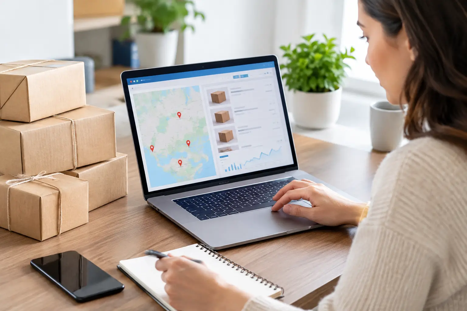
A vacant parcel can look like a great deal until one overlooked detail changes what you can actually do with it. Parcel research tools give land buyers a practical way to investigate a property before money changes hands – whether the goal is a homesite, hunting retreat, off-grid escape, future investment, or resale opportunity.
The best research is not about collecting every available data point. It is about answering the questions that affect value and usability: Where are the boundaries? Is there legal access? What does zoning allow? Are taxes current? Does the land have flood, wetland, slope, or utility concerns? A listing can start the conversation, but careful research helps you decide whether to make an offer and what that offer should be.
What Parcel Research Tools Can Tell You
Most parcel research starts with an address, parcel number, or legal description. From there, online mapping systems, county records, GIS layers, and satellite imagery can reveal a surprisingly useful picture of the land.
A county assessor or property appraiser database is often the first stop. It may show the owner of record, parcel size, assessed value, tax history, parcel identification number, and basic property characteristics. This information is useful, but it is not the final word on market value or ownership. Assessed value is set for tax purposes and may be well below or above what a willing buyer would pay.
County GIS maps add a visual layer. They can display approximate parcel lines, roads, nearby parcels, waterways, elevation, zoning districts, and other local data. These tools are especially helpful when comparing multiple rural properties that do not have standard street addresses.
Satellite imagery and topographic maps help you see the land beyond the listing photos. You may spot heavy tree cover, cleared areas, nearby homes, drainage patterns, apparent trails, neighboring agricultural activity, or steep terrain. Imagery can be outdated, though, so treat it as a screening tool rather than proof of current conditions.
Start With the Parcel’s Identity
Before researching potential risks, make sure you are researching the correct piece of land. Rural properties can share road names, have inconsistent addresses, or be marketed using a nearby town rather than the actual location.
Match the listing to the county parcel number, acreage, legal description, and map location. If the seller provides a plat map or survey, compare it with county GIS data. Small differences are common because GIS boundaries are generally approximate. Large differences deserve a direct question before you proceed.
The legal description matters because it identifies the property in the deed records. It may reference a lot and block in a recorded subdivision, a metes-and-bounds description, or a section, township, and range. You do not need to interpret every line yourself, but the legal description should align with the property being advertised.
If you are buying acreage for a fence line, cabin site, hunting use, or future split, consider ordering a professional survey. A survey costs more than online research, but it can clarify corners, encroachments, easements, and the true location of boundaries. For a low-cost recreational lot with clearly marked subdivision boundaries, a survey may be less urgent. For larger acreage or any property with uncertain lines, it can be money well spent.
Check Access Before You Fall in Love With the Land
Road frontage is one of the biggest drivers of usability and value. Parcel research tools can show whether a road appears to reach the property, but they cannot always tell you whether access is legally guaranteed, publicly maintained, seasonal, or passable after heavy rain.
Look for public road frontage on the parcel map. If access appears to cross another owner’s land, ask for the recorded easement or right-of-way documentation. Do not assume an existing dirt road creates a legal right to use it. A neighbor may have allowed informal access for years without granting a permanent easement.
Also ask who maintains the road. A private road may require a road maintenance agreement, association dues, or shared repair costs. In remote areas, a road can be physically present yet difficult for a regular vehicle, construction crew, or RV to use. A drive to the property is still one of the most valuable research steps you can take.
Use Parcel Research Tools to Verify Land Use
Zoning, deed restrictions, and local rules can shape a parcel’s future more than its size or appearance. A five-acre tract may be perfect for a homesite in one county and limited to agricultural or recreational use in another.
Start with the county or municipal planning department. Confirm the zoning designation and ask what it allows today. Questions worth asking include whether you can build a home, place a manufactured home, camp long term, park an RV, keep livestock, divide the parcel, operate a small business, or install a short-term rental.
Zoning is only one piece of the picture. Recorded covenants, homeowners association rules, subdivision restrictions, and deed conditions can be stricter than county zoning. A county may allow a manufactured home while a recorded subdivision restriction does not. Request and read the applicable documents rather than relying on a verbal answer.
If your plans involve building, ask about minimum lot size, setbacks, driveway permits, septic approval, well requirements, and building permit standards. The answer may depend on the specific parcel, not just the zoning district. This is where a quick call to the right local office can save months of frustration.
Research Flooding, Terrain, and Site Conditions
Land that looks level in photos may have a drainage issue, floodplain area, or slope that makes construction more expensive. Environmental and terrain research does not necessarily mean a parcel is a bad buy. It helps you price the opportunity correctly and choose a use that fits the land.
Review flood hazard maps to see whether all or part of the parcel falls in a mapped flood zone. Flood zone status can affect building locations, insurance needs, lending options, and resale appeal. It does not automatically prevent recreational use or even construction, but it deserves closer review.
Topographic mapping can show changes in elevation that satellite imagery hides. Steep ground may be ideal for privacy, views, or hunting, yet harder to access and more costly to develop. Low areas may support wildlife or waterfront appeal but need careful evaluation for septic systems, roads, and structures.
For a future homesite, investigate soil and septic suitability early. In many rural markets, a failed perc test can sharply limit the value of a parcel intended for residential use. Utility availability matters too. Confirm the distance to electric service, whether a well is feasible, internet options, and the realistic cost of bringing services to the site.
Compare Taxes, Sales, and Market Value
Parcel research should help you avoid overpaying, not just avoid physical problems. Begin with the county tax record to verify annual taxes, exemptions, and whether there are delinquent amounts. Ask the closing professional how taxes will be prorated and whether any special assessments apply.
Then compare the property with recent land sales and active listings that match its actual use. A wooded tract with no legal access should not be valued like a buildable lot with paved road frontage and utilities. Likewise, a remote off-grid parcel may be a strong opportunity for a buyer seeking recreation, even if it would not work for a conventional homesite.
Focus on meaningful comparisons: acreage, road access, zoning, terrain, utilities, location, and improvements. Price per acre is a useful starting point, but it can be misleading when one parcel includes a build site, creek frontage, timber value, or owner financing and another does not.
BuyVacantLand.com makes this comparison easier by organizing opportunities by state and intended use, from residential lots and owner-financed land to hunting, waterfront, and off-grid property. Use that focus to narrow your search, then research each individual parcel with the same discipline.
Know When Online Data Is Not Enough
Online records are efficient, but they have limits. County databases can lag behind recent deeds, GIS lines are not surveys, aerial photos may be years old, and a map cannot confirm whether a neighbor dispute exists. The more money you are investing and the more specific your plans, the more valuable professional review becomes.
A title company or real estate attorney can examine ownership, liens, easements, and deed restrictions. A surveyor can establish boundaries. A local septic professional, well contractor, or builder can offer a clearer view of development feasibility. These costs should be weighed against the purchase price and the risk of getting a major detail wrong.
The smart way to use parcel research tools is to move from broad screening to focused verification. Start online, ask direct questions, visit the land, and bring in professionals when the property’s intended use or price justifies it. The right parcel is not always the one with the fewest complications – it is the one whose opportunities, costs, and limitations fit your plan well enough to move forward with confidence.


Join The Discussion