
A fence line, a row of trees, or an old gravel road can look like a property boundary. Sometimes it is. Sometimes it is several feet, acres, or even an entire access strip away from the true line. When you are buying vacant land, that difference can affect what you own, what you can build, and whether you can reach the property at all.
So, what is a land survey? It is a detailed measurement and map prepared by a licensed professional land surveyor that identifies a parcel’s legal boundaries, corners, dimensions, improvements, and recorded rights affecting the property. For a land buyer, it is one of the clearest ways to verify that the acreage and usable space you expect to purchase are actually there.
A survey is not always required for a land purchase, but treating it as an optional afterthought can be costly. The right survey can uncover boundary conflicts, encroachments, easements, and access issues before they become your problem.
What a Land Survey Shows
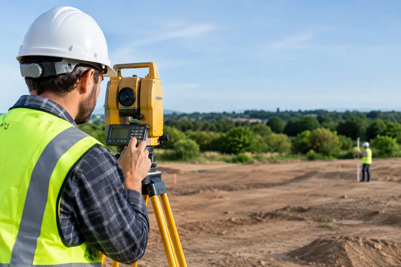
A land survey starts with the property’s legal description, which may reference a recorded plat, lot and block number, metes and bounds description, or federal land survey system section. The surveyor reviews public records and prior surveys, then performs fieldwork to locate or set property monuments and measure the parcel accurately.
The resulting survey drawing typically shows the boundary lines, corner markers, total acreage or square footage, and the property’s dimensions. It may also identify roads, driveways, fences, buildings, utility lines, creeks, and visible improvements. Depending on the survey type and the purpose of the work, it can show flood-related information, topography, setbacks, or zoning information as well.
Just as importantly, a survey can reveal interests held by other parties. An easement may allow a neighbor, utility company, government agency, or other party to use a portion of the land for access, power lines, drainage, pipelines, or other purposes. You may still own that part of the parcel, but your use of it can be limited.
Why a Land Survey Matters Before You Buy
Vacant land offers freedom, but it also requires more buyer due diligence than a typical home purchase. A house on a city lot often makes the boundaries easier to understand. Raw acreage may have no fence, no signs, no visible corners, and no obvious route from a public road.
A current survey helps answer practical questions before you commit funds. Does the parcel touch a public road, or does access cross someone else’s land? Is the existing driveway on the parcel or on a neighboring tract? Does a fence cut across the boundary? Is the clearing where you plan to build actually within the property lines?
These questions matter to nearly every land buyer, from a family shopping for a rural homesite to an investor evaluating a small infill lot. They are especially important for hunting land, recreational acreage, waterfront parcels, off-grid property, and larger rural tracts, where boundaries can be less visible and access can be more complicated.
A survey also gives you a more accurate foundation for evaluating value. If a listing says 10 acres but a new survey finds less usable acreage because of an encroachment, easement, or irregular boundary, your plans and your offer may need to change. Land is an opportunity-driven asset, but opportunity is strongest when the facts are clear.
Common Types of Land Surveys
Not every transaction needs the same level of detail. The right choice depends on the property, lender requirements, intended use, and your tolerance for risk.
Boundary Survey
A boundary survey establishes and marks the legal property lines. It is a common choice for vacant land buyers who need to confirm exactly what they are purchasing. The surveyor researches the legal description, locates evidence of prior boundaries, measures the tract, and typically sets or identifies corner monuments.
If you plan to fence the property, build near a boundary, divide land, resolve a neighbor dispute, or simply confirm acreage, a boundary survey is often the starting point.
ALTA/NSPS Land Title Survey
An ALTA/NSPS survey is a more detailed survey commonly requested for commercial transactions, larger investments, or lender and title insurance purposes. It follows national standards and can document matters such as improvements, rights of way, utilities, observed evidence of access, and certain title-related exceptions.
It costs more than a basic boundary survey, and it may be more detail than a buyer of a small recreational parcel needs. Still, it can be worthwhile when the purchase price is substantial, the site has development potential, or a lender requires it.
Topographic Survey
A topographic survey maps elevation changes, slopes, drainage features, and physical features on the ground. Buyers often need one before designing a home, planning a driveway, installing a septic system, or developing a site.
A boundary survey tells you where the land begins and ends. A topographic survey helps show how the land lies within those boundaries. On a steep, wooded, or waterfront parcel, that distinction can shape the entire budget for construction.
Subdivision or Plat Survey
When land is being divided into multiple lots, a surveyor may prepare a subdivision plat that must meet local and county requirements. This process can involve road frontage, utility access, minimum lot sizes, easements, and approvals from planning authorities.
Do not assume that a large tract can be split just because it has enough acreage. A survey is part of the process, but local land-use rules determine what division is allowed.
What a Survey Does Not Guarantee
A survey is powerful, but it is not a substitute for complete due diligence. It does not automatically confirm that land is buildable, that it will qualify for a septic permit, or that zoning allows your intended use. It also does not eliminate the need for title work, deed review, soil testing, floodplain research, or conversations with local planning offices.
For example, a survey may show legal access through a recorded easement. That does not necessarily mean the access road is maintained, wide enough for construction equipment, or suitable year-round. Likewise, a survey may show a beautiful building area, but local setbacks, wetlands, or utility limitations can still affect your plans.
Think of the survey as a key piece of the land-buying puzzle. It confirms the physical and legal footprint of the parcel so you can investigate the remaining questions with better information.
How Much Does a Land Survey Cost?
Survey costs vary widely across the United States. A simple, small lot with clear records and easy access may cost far less than a heavily wooded rural tract with missing monuments, difficult terrain, and a complicated legal description.
The surveyor’s price is usually influenced by parcel size, shape, terrain, vegetation, location, record availability, the number of corners, travel time, and the type of survey requested. A property that has not been surveyed for decades may require more research and fieldwork than a recently platted lot.
It can be tempting to save money by relying on an old survey or a county GIS map. County maps are useful for early research, but they are generally not precise enough to establish legal boundaries. An old survey may still be helpful, yet changes in neighboring parcels, lost markers, new improvements, or title issues can make an updated survey the wiser choice.
Before ordering one, ask the surveyor what is included, whether corner markers will be set or found, how long the work may take, and whether the final drawing will meet your lender, title company, or planned-use requirements.
When You Should Strongly Consider Ordering a Survey
A new survey deserves serious consideration when boundaries are unclear, the property has no visible monuments, or the land is rural and unfenced. It is also smart when you plan to build, install a driveway, place a manufactured home, add fencing, or make improvements near a boundary.
Buyers should be particularly careful when a parcel appears landlocked, relies on a private road, includes waterfront, has irregular boundaries, or is being sold from an estate. Those situations do not automatically mean there is a problem. They simply create more reasons to verify the facts before closing.
If financing is involved, ask the lender and title company early whether they require a specific survey. Cash buyers have more flexibility, but they also bear full responsibility for deciding which risks they are willing to accept.
How to Use a Survey During Due Diligence
Once you receive the survey, compare it with the listing, deed, title commitment, and what you observed during your property visit. Confirm the acreage, road frontage, access points, easements, and location of any fences or structures. If something does not match, ask questions before the closing date.
Pay close attention to any area you expect to use. A survey may show that the best potential homesite is within a utility easement, that a neighbor’s shed crosses the line, or that the route to the parcel is not legally secured. None of these discoveries automatically ends a deal, but each one should affect your negotiation, plans, or decision to move forward.
Buying land is about seeing potential and verifying reality. Whether you are searching for a quiet off-grid retreat, an affordable lot, productive acreage, or your next investment, a land survey can turn uncertainty into a plan you can act on with confidence.



Join The Discussion